

Watersheds > Memphremagog Drainage Basin
-
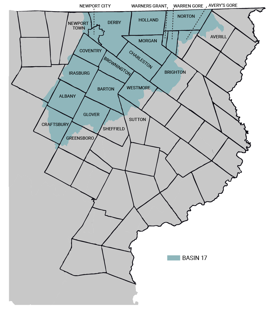
Basin 17 — Memphremagog
The St. Francis drainage basin consists of a single basin within Vermont: Basin 17, the Lake Memphremagog Basin. The area is primarily made up of Lake Memphremagog, though it also includes the Black River, the Barton River, and the Clyde River. The primary concern in this basin is the phosphorus levels of Lake Memphremagog, which are over 20% higher than the acceptable level. Channel and land erosion is one of the other main concerns, affecting multiple bodies of water, including Barton River, Roaring Branch, and Lake Seymour.
Projects targeted at the area:
— Implementation of RAPs to reduce erosion and nutrient loading with a priority areas near Roaring Branch, Walker and Mud Pond, Little and Great Averill, and Lake Seymour
— Repairing channel erosion along Barton River
— Stormwater master planning in Derby, Newport City, Orleans, and Barton to reduce erosion and encroachment
Additional Information: