Watersheds
Vermont’s four main drainage basins are divided into 15 total basins. The Vermont Department of Environmental Conservation develops Tactical Basin Plans which contain monitoring and assessment data, and the protection and restoration tools of rivers, lakes, wetlands and stormwater within each basin. Tactical basin plans highlight the projects or actions needed to protect or restore specific waters and identify appropriate funding sources to complete the work. Tactical basin plans guide all watershed work; the issues identified in these plans are the ones that will be prioritized for management attention, including funding.
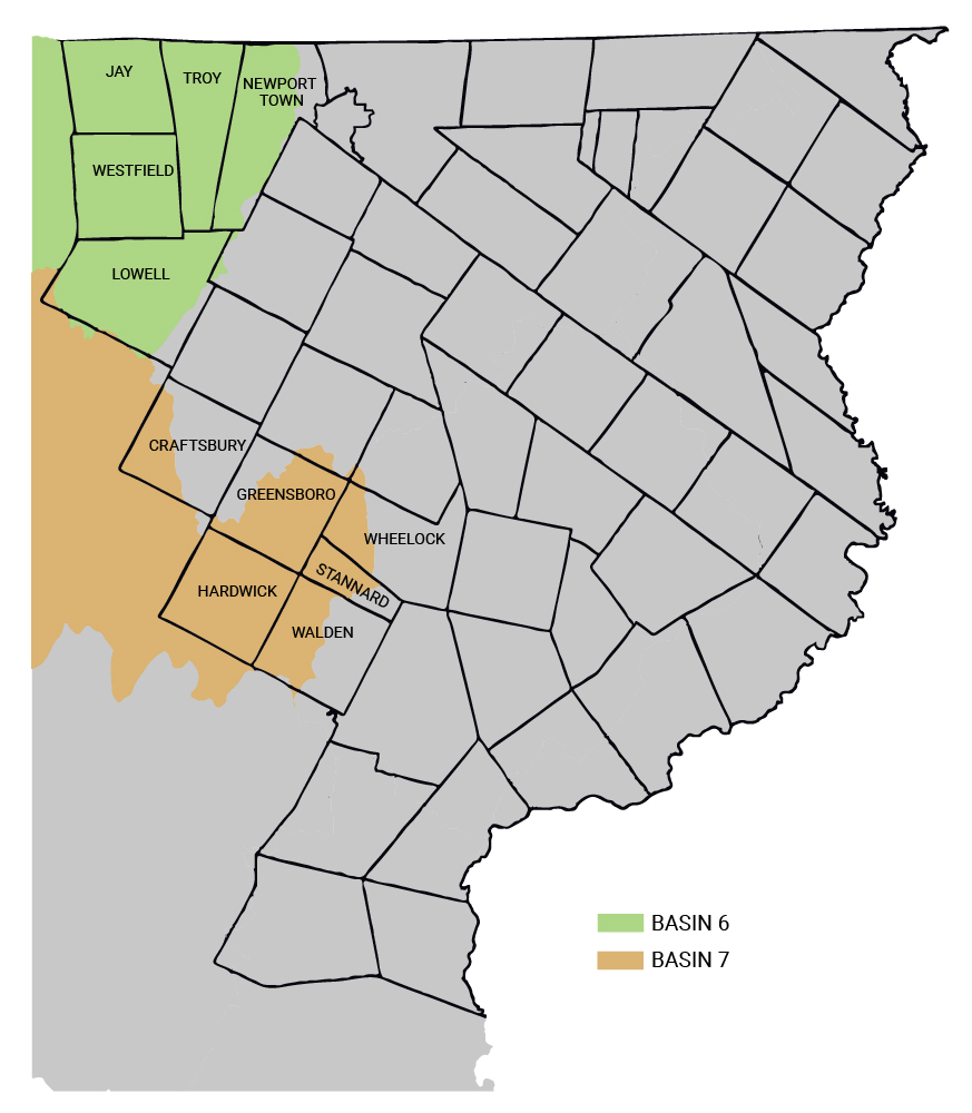
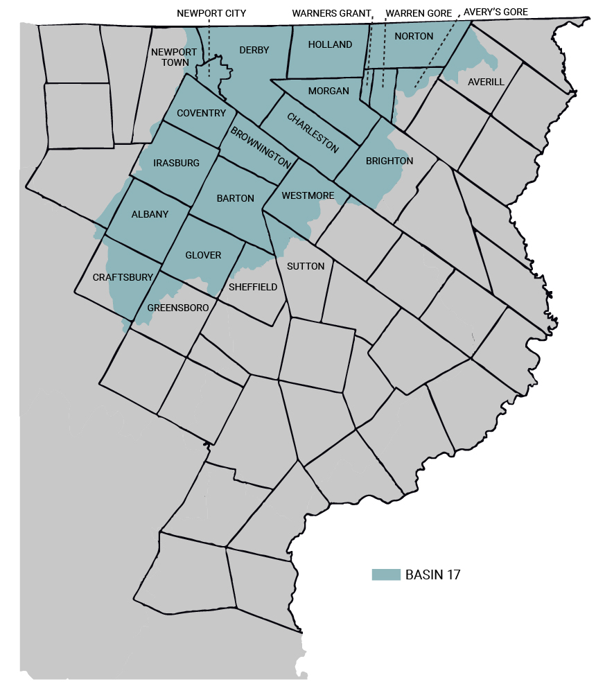
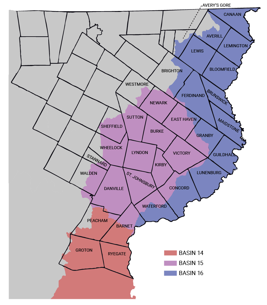
Our area in the Northeast Kingdom includes three of the four drainage basins: the Connecticut; the Memphremagog (St. Francis); and the Lake Champlain. This area covers 6 of the 15 total basins across the state. A Tactical Basin Plan has been completed for each, which details specific projects achieve clean water within each basin.
More information on Tactical Basin Planning is available through the Vermont Department of Environmental Conservation.
Main Drainage Basins for the Region:
Select a basin for more information and to see enlarged map.


